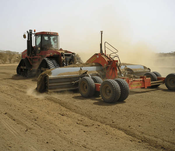
Description
Trimble’s Field-Level II GPS Leveling System is a comprehensive solution for mapping, designing, and leveling. Replacing traditional laser leveling, Fieldlevel II levels your fields in less time, with reduced fuel and precision while at the same time overcoming the limitations of conventional laser leveling due to weather or operating radius. At the same time, it enables you to edit your field profiles in 3D, while you can plan at home your leveling jobs using WM-Topo software, reducing the risk of errors in leveling.
- Virtual topography and imaging management environment
- 3D elevation survey in the field
- Creating multiplane slopes
- Modeling of leveling work for minimum soil movement
- Reliability and Autonomy, whatever the weather
- Simultaneous operation of many machines at different levels
- Screen operation
- GPS TMX-2050

